THE PONTONE NOTEBOOK · 01
Valle delle Ferriere
Into the green, following the water
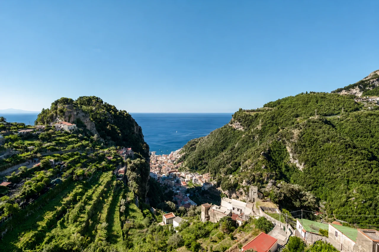
From the village into a coast of water and greenery. A walk to see how landscape and human endeavour came together, among footpaths and the remains of old ironworks.
WHAT YOU WILL FIND
Water has shaped the valley.
The Canneto stream runs through the valley, past waterfalls and traces of former industry. The ironworks give the upper valley its name; further down towards Amalfi, paper mills tell the story of the Valle dei Mulini. Walking here is also a way of reading the landscape: water, greenery and walls left among the trees.
LANDMARKS ALONG THE WAY
One step after another.
The trail starts in the village: reach it from Via Tuoro before counting the route distance.
The square, then the trail
From the fountain in Piazza San Giovanni, trail 323a crosses the village westwards and reaches the dirt path towards the ironworks. Locate the start before leaving Pontone.
The ironworks ruins
The CAI-listed section ends at the ruins, where it meets trail 325. The stated 1.7 km covers this section, rather than the complete outing with a visit and return walk.
The reserve is a separate visit
The upper section of trail 325 continues towards the reserve. Arrange admission beforehand: reaching the ruins does not mean you have access to the protected area.
BEFORE SETTING OUT
The trail and reserve have different access arrangements.
The Carabinieri Biodiversity service specifies booking through the Municipality of Scala and a ticket for the reserve. The area protecting the Woodwardia radicans fern is closed to ordinary visitors. Confirm current visiting slots, admission costs and arrangements with the municipality before setting out.
How much time to allow
The CAI page is inconsistent: 30 minutes in its table, around 45 in the description. Allow extra time for breaks, any reserve visit and your return. We suggest keeping half a day free if you include the reserve.
Terrain and equipment
This is a hiking trail, with uneven ground and potentially wet sections. Wear shoes with good grip, carry water and keep your hands free. Choose another outing if using a pushchair; with children, consider their walking experience and the day’s conditions.
The connection towards Amalfi
CAI retains an alert for trail 325: its 2024 update describes a diversion around the 2022 landslide. This does not establish today’s conditions. Confirm the usable route before taking it down to Amalfi, and respect any closures on site.
PLAN THE RETURN TOO
Back to the village.
For an outing from Pontone, plan your return along trail 323a as well. If you decide to finish in Amalfi, arrange the uphill journey by bus or taxi beforehand, once you have checked the walking connection. The steps back to your residence come on top of the walk.
Plan your journeysChoose a day and route that suit your pace. Check weather and local conditions before leaving, and respect any closures. This guide helps you plan the outing; it does not replace a walking map or instructions on site.
Sources and updates
Sources consulted on .
- CAI Monti Lattari · trail pages 323a and 325
- Visit Amalfi · Valley of the Ironworks
- Carabinieri Biodiversity service · Valle delle Ferriere reserve
- Municipality of Scala · official contact details
Distances and classifications follow the CAI pages for the stated sections. This is not a live trail-status bulletin.